
ENREC SOLUTIONS


EnRec Solutions – Chippewa Falls, WI
IMAGING
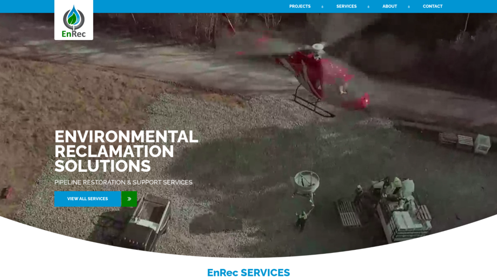
As part of our reclamation services package, EnRec performs pre-construction and post-construction flights of the right of way using LiDAR and Nadir imagery and GeoReferenced Oblique imagery of the pipeline corridor. The pre-construction flight is performed quickly and can be done before or after tree clearing. We deliver a digital elevation model and host a web map for our client to view and analyze data including slope gradient, soil types, and soil wetness. Fulcrum App enables users to collect data anytime, anywhere. It can be utilized on multiple platforms and operating systems (iOS & Android), and also allows customized design templates for mobile forms in the web browser dashboard. Custom mobile forms for records are easily constructed in a web browser by dragging and dropping preset fields into a custom design layout. Layouts may be designed to mimic any forms or reports typically used in daily operations, such as Daily Seed Reports, Incident & Safety Reports, Soil Analysis Reports, etc.
Forms may be synchronized to mobile user accounts to expedite data collection in the field. Mobile users may collect new data and edit existing data, both online and offline, then rapidly synchronize data to the Fulcrum cloud, allowing for real-time reporting and communication. Fulcrum App also enables users to filter data and generate reports in multiple formats, using numerous visualization and dissemination tools. Fulcrum App allows integration of existing databases into the dashboard and mobile apps. Managers may also establish notifications, build custom tools, and assign permissions to users to create, edit, and view data.